Kujawsko-Pomorska Digital Library contains 263 781 digital objects
Object
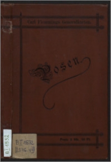
Title: Karte der Provinz Posen ; Posen
Description:
1 mapa : litogr. kolor. ; 64 x 51 cm, ark. 66 x 52 cm, całość w okł. 18 x 11 cm. ; [ca 1:500 000]. ; 2 podziałki liniowe: deutsche M. 15 = 1º d. Aequ., 10 = [15 cm]; preuss. M. à 2000 rhld. Rthn., 10 = [15 cm]. ; Tyt. z mapy w lewym górnym rogu. ; Południk zerowy [Ferro]. ; W lewym dolnym rogu tabela: Statistiche Uebersicht. ; Rzeźba terenu: kreskowanie. ; Mapa poboczna: Posen mit nächster Umgegend, [ca 1:125 000], 10x10 cm.
Contributor:
Publisher:
Lith. Druck u. Varlag von C. Flemming
Place of publication:
Format:
Source:
Language:
Rights:
Domena publiczna (Public domain)
Access Rights:
Resource Identifier:
Digitalisation:
Wojewódzka i Miejska Biblioteka Publiczna w Bydgoszczy
Original in:
Wojewódzka i Miejska Biblioteka Publiczna w Bydgoszczy
Sponsor:
Projekt e-Kultura WZP.273.55.2014
Object collections:
- Kujawsko-Pomorska Digital Library > Regional materials > Cuiaviana, Pomeranica > Maps
- Kujawsko-Pomorska Digital Library > Recommended
- Kujawsko-Pomorska Digital Library > Collections of project partners > Voivodeship and Municipal Public Library of Dr. Witold Bełza in Bydgoszcz
Last modified:
Nov 15, 2023
In our library since:
Jun 10, 2016
Number of object content hits:
243
Number of object content views in DjVu format
246
All available object's versions:
https://kpbc.umk.pl./publication/157325
Show description in RDF format:
Show description in OAI-PMH format:
| Edition name | Date |
|---|---|
| Karte der Provinz Posen | Nov 15, 2023 |
Objects Similar
Gräf, Carl (1822-ca 1897) Müller, A. Geographisches Institut (Weimar)
Kothe, Julius Kartographisches Institut von Carl Flemming Verlag von Julius Springer
Handtke, Friedrich H. (1815-1879) Verlag von C. Flemming (Głogów)
Handtke, Friedrich H. (1815-1879) Carl Flemming Verlag, Buch- und Kunstdruckerei (Głogów)
Handtke, Friedrich H (1815-1879) Verlag von C. Flemming (Głogów)


